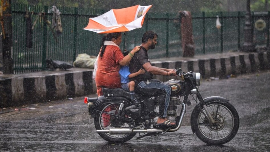
Delhi braces for heavy rains in September after recording wettest August since 2010; here's why
The IMD also forecast an active monsoon spell over Delhi and its adjoining areas for the next 5 days, with frequent spells of light to moderate rain.

- Sep 1, 2025,
- Updated Sep 1, 2025 10:22 AM IST
After having recorded its wettest August in 15 years, the Indian Meteorological Department (IMD) has predicted above-normal rainfall in Delhi in September. Delhi woke up to light to moderate rain at many places on Monday morning.
The IMD also forecast an active monsoon spell over Delhi and its adjoining areas for the next 5 days, with frequent spells of light to moderate rain. It also sounded a yellow alert for the national capital on Monday.
Why did Delhi-NCR see such heavy rains in August?
Between June 1 and August 31, India received 743.1 mm of rain, around 6 per cent above the long-period average of 700.7 mm. IMD said that northwest India received 614.2 mm of rain against the normal 484.9 mm, around 27 per cent above average. August was relatively cool for Delhi-NCR, with frequent rain spells throughout the month.
The national capital recorded 400.1 mm of rainfall in August 2025, 72 per cent above the monthly long-period average (LPA) of 233.1mm. This is the wettest August since 2010, when Delhi recorded 455.1 mm of rain.
As per IMD Director General Dr Mrutyunjay Mohapatra, the unusual rainfall in northwest India was mainly due to the interaction of several western disturbances with monsoon low-pressure systems.
He added that these weather systems typically move through Odisha but last shifted unusually through Uttar Pradesh and Haryana, affecting Delhi directly. In August alone, 5 western disturbances impacted northwest India, of which 2 were significant — one between August 23 and 27 and another that struck before the month ended.
Their repeated interaction with cyclonic circulations triggered intense rain over Delhi and nearby states.
More rainfall in September and climate concerns
Forecasts indicate cloudy skies and intermittent rain across Delhi districts, from North and South to Shahdara and East. Ghaziabad, Faridabad, Gurugram, and Noida are also under a "likely rain" watch, with heavy to very heavy rainfall expected in Faridabad and Gurugram over the next two days.
For 2025, the weather department has predicted that India's average rainfall in September will be 109 per cent of the LPA. Meanwhile, the Yamuna river rose close to the danger mark on Saturday, reaching 205.12 metres at the Old Railway Bridge by 7 pm. This was just below the danger of 205.33 metres.
The Meteorological Department said that heavy rainfall in September may trigger landslides and flash floods in Uttarakhand and may disrupt normal life in South Haryana, Delhi, and North Rajasthan.
