
Trump satellite cuts could set US weather forecasting back nearly a decade, says report
New report from the Government Accountability Office (GAO) warned that the lower cost could come with a significant impact on the country’s weather forecasting system.
- Oct 20, 2026,
- Updated Oct 20, 2026 12:43 PM IST
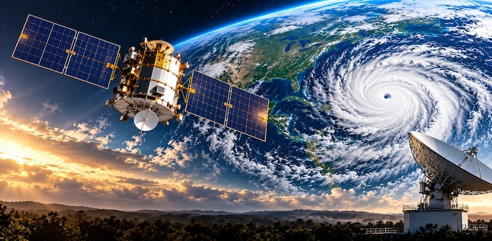
The US could be left with weaker weather forecasting capabilities for years after the Trump administration cut funding for the country’s next generation of weather satellites. The changes could create gaps in satellite coverage and remove tools used to track hurricanes, tornadoes, wildfires and other extreme weather, CNN reported.
The cuts affect the National Oceanic and Atmospheric Administration’s (NOAA) Geostationary Extended Observations programme, or GeoXO, which is being developed with NASA.
Experts told CNN that the changes could set US weather forecasting back by nearly a decade.
Satellite programme faces major cuts
The GeoXO programme was originally planned to include six satellites. Under changes ordered by the Trump administration last year, that number has been reduced to four.
Three of the five scientific instruments that each satellite was originally expected to carry have also been removed.
The changes are intended to reduce the programme’s estimated lifecycle cost from about $19.6 billion to $13 billion.
But a new report from the Government Accountability Office (GAO) warned that the lower cost could come with a significant impact on the country’s weather forecasting system.
US could face a gap in satellite coverage
The first GeoXO satellite is expected to launch in 2032. However, some satellites in the existing GOES-R series could reach the end of their service lives before the new system is fully operational.
The GAO warned that this could leave the US without continuous satellite coverage for several months.
Weather satellites provide forecasters with information about clouds, storms and atmospheric conditions. This data is crucial for predicting severe weather and giving people and authorities time to prepare.
A gap in these observations could therefore reduce forecast accuracy, particularly during major weather events.
Fewer satellites and fewer instruments
The original plan called for three operational geostationary satellites covering the eastern, central and western parts of the US, along with a spare satellite that could take over if one of the operational spacecraft failed.
Under the revised plan, there will be two operational GeoXO satellites, one covering the East and another covering the West, along with a backup.
Several instruments have also been removed.
One of them was designed to monitor air quality and track wildfire smoke on an hourly basis. Another was intended to monitor water quality, ocean currents and harmful algae blooms.
A new version of the Geostationary Lightning Mapper has also been dropped.
The lightning instrument, which has been operating on the current GOES-R satellites since 2017, can detect lightning flashes and help forecasters identify developing tornadoes and monitor the rapid strengthening of tropical storms and hurricanes.
It is also used for aviation weather forecasting and wildfire monitoring.
New satellites may not offer major improvements
The first GeoXO satellite is now expected to carry instruments that are already available on earlier satellite generations.
These include a visible and infrared imager that can track storms during the day and night, as well as an infrared sounder that provides information about the atmosphere, including humidity, wind speed and wind direction.
The GAO questioned whether the new satellites would actually provide significant improvements over the satellites currently in orbit.
“It is unclear whether GeoXO will improve, or even continue, the functionality available in the current generation of satellites,” the report said.
Steve Volz, who previously led NOAA’s satellite division and is now CEO of Earth-observation consulting firm HyperionEO LLC, said the need for weather information has increased significantly over the past decade.
He warned that the cuts could leave the US behind Europe, Japan and China in efforts to improve weather forecasting.
Lawmakers raise concerns
The changes have also drawn criticism from Democratic lawmakers.
Zoe Lofgren, the top Democrat on the House Science Committee, and Democratic Representative Gabe Amo wrote to NOAA’s administrator seeking information about the changes, including any cost-benefit analysis conducted on removing the instruments.
The lawmakers warned that the changes could leave the US with weaker weather satellites than those currently in operation.