IMD says monsoon likely to move into these states in 2-3 days; check details
In a relief from sweltering heatwave, the weather office has predicted monsoon movement in the next 2-3 days in select parts of India. Find out more in this story

- Jun 20, 2023,
- Updated Jun 21, 2023 6:17 PM IST
The India Meteorological Department (IMD) has predicted that monsoon is likely to move into West Bengal, Jharkhand, and Bihar and also some parts of the southern peninsula over the next two days. The weather office added that monsoon is also likely to advance over some parts of Odisha, Gangetic West Bengal, Jharkhand, Bihar and East Uttar Pradesh in 2-3 days.
The Met Department said in its forecast: "Conditions are favourable for further advance of Southwest Monsoon over some more parts of south Peninsular India, some parts of Odisha, some more parts of Gangetic West Bengal, Jharkhand, Bihar and East Uttar Pradesh during next 2-3 days".
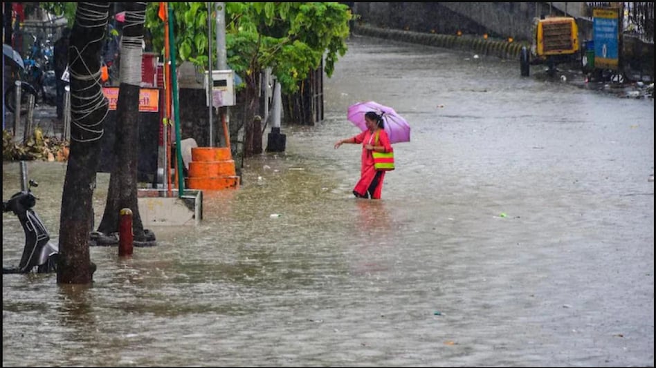
Moreover, moderate thunderstorms and lightning coupled with moderate rains are likely to prevail in isolated pockets of Tamil Nadu including Thiravallur, Chennai, Kanchipuram, and Chengalpattu districts. Rainfall may lead to water logging in low-lying areas as well as traffic blockage.
Watch: International Yoga Day 2023: Yoga asanas that can help improve mental health
Meanwhile, the onset of monsoon in Kerala got delayed by around a week largely due to the impact of Cyclone Biparjoy. Biparjoy has now weakened into a depression centered over Rajasthan. As the cyclone weakens further, heavy rainfall is likely to prevail in parts of Rajasthan, Gujarat, Uttar Pradesh, and Madhya Pradesh till Wednesday.
The weather office said: “The Well Marked Low Pressure Area (Remnant of Cyclonic Storm ‘Biparjoy’) over central parts of northeast Rajasthan & neighbourhood now lies over northeast Rajasthan and adjoining areas of northwest Madhya Pradesh & southwest Uttar Pradesh. The associated cyclonic circulation extends upto middle tropospheric levels. It is very likely to continue to move nearly east-northeastwards and weaken further during next 12 hours.”
While heavy to extremely heavy rainfall is likely over eastern Rajasthan and northwest Madhya Pradesh till Wednesday, light to moderate rainfall is very likely to prevail over southwest Uttar Pradesh on Tuesday and Wednesday. The Met department added that maximum temperatures are expected to fall 3-5˚ Celsius over Madhya Pradesh and east India during the next 5 days.
Watch: Top upcoming WhatsApp features: Screen-sharing, multi account support and more
Watch: Buzzing stocks on June 20, 2023: RVNL, Concor, IIFL Securities, HDFC AMC, Timken, others
Also Read: Heatwave in UP: IMD issues orange alert for these 8 districts, respite likely from tomorrow
