


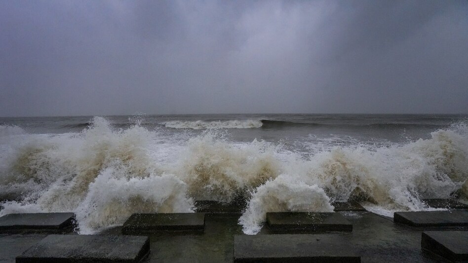
 Cyclone Dana makes landfall
Coastal Odisha faced severe weather conditions late after Thursday's midnight as Cyclone Dana made landfall, bringing wind speeds of up to 110 km/h. The India Meteorological Department (IMD) reported that the cyclone struck between Bhitarkanika National Park and Dhamra shortly after midnight, with the landfall process continuing into Friday morning.
In the coastal districts of Bhadrak, Kendrapara, Balasore, and the neighbouring Jagatsinghpur district, residents experienced sudden gusts of wind and heavy rainfall. Reports from local authorities indicated instances of trees being uprooted, leading to blocked roads in Bhadrak district.

 FII sentiment shows early signs of turnaround after months of selling: Report
 Apple job cuts 2026: iPhone maker slashes 200 jobs in Siri, Vision Pro immersive video, gaming teams
 'Last-minute changes unfair, uneconomic': US-Canada trade talks collapse as Trump readies 50% tariffs on Canadian products
 ₹24,800 crore bill: How transaction costs are eating into retail derivatives trading
 The $1.8 trillion space economy: Who will capture value as the final frontier goes commercial?
 Meta’s $200 Billion Trial: Did Instagram & Facebook Keep Kids Hooked?
 Motor Insurance Explained: Is Third-Party Car Insurance Enough? Know Before You Buy
 Retirement Tax Planning: 5 Ways Senior Citizens Can Reduce Their Tax Liability
 #IndiaAt100 : Adipen Bose Nandhiji On Conscious Capitalism- Can Profit & Purpose Coexist?
 #IndiaAt100 : Hisashi Takeuchi On Driving India’s Manufacturing Revolution
 Gaja Alternative Assets IPO: 3 ways to check application status; allotment odds, GMP, listing dateFII sentiment shows early signs of turnaround after months of selling: Report₹24,800 crore bill: How transaction costs are eating into retail derivatives trading
 Cupid, NTPC Green, NTPC, Raymond Realty, HAL shares: Key technical levels to watch
 Defence stock with Rs 2,654-crore order book hits record high; here's why
  UPI should remain free: Expert on why MDR could push merchants and consumers back to cash
 'Before 2019, my son had to change school every year': Maharashtra FDA boss Tukaram Mundhe of 25 transfers in 21 yearsMeta’s $200 Billion Trial: Did Instagram & Facebook Keep Kids Hooked?Gaja Alternative Assets IPO: 3 ways to check application status; allotment odds, GMP, listing date
 Will India’s new labour rules finally give manufacturers room to grow and hire?












