


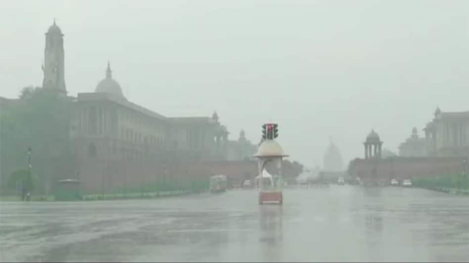
 The Indian Meteorological Department (IMD) has warned that the area around the capital is expected to experience continued thunderstorms.
The Delhi NCR region, inclusive of Noida and parts of Gurugram, was hit by moderate rainfall early on Thursday. The Indian Meteorological Department (IMD) issued an alert to the residents, predicting continued thunderstorms in and around the capital.
As a result of the heavy downpour, road blockages led to waterlogging, increasing the difficulty for Delhiites, who are already facing the brunt of harsh winter. Several trains are also running late due to heavy rainshowers. The IMD also tweeted about the occurrence of a thunderstorm with light to moderate intensity rain in several areas of Delhi and NCR.

 90% EVs exported out of India are from Maruti Suzuki: MD & CEO Hisashi Takeuchi
 India's $30 trillion goal needs 8-10% growth, $400 billion more annual investment: Jayant Sinha
 1.1 billion barrels gone: IMF warns that global oil market is running out of safety cushions
 From Devbhoomi to industrial destination: Uttarakhand’s manufacturing moment
 India’s deep-tech startups face a new test: Crossing the valley of death
 #IndiaAt100 : Adipen Bose Nandhiji On Conscious Capitalism- Can Profit & Purpose Coexist?
 #IndiaAt100 : Hisashi Takeuchi On Driving India’s Manufacturing Revolution
 #IndiaAt100 : Manufacturing For Viksit Bharat | Can Industry Power India’s $30-Trillion Dream?
 #IndiaAt100 : Tarun Garg On Hyundai & India’s Manufacturing Powerhouse Ambition
 #IndiaAt100 : CM Pushkar Singh Dhami On Uttarakhand’s Industrial Growth & India’s Next Leap
 Cupid, NTPC Green, NTPC, Raymond Realty, HAL shares: Key technical levels to watch
 Defence stock with Rs 2,654-crore order book hits record high; here's why
  GACM Technologies: FII holding jumps to 29%; penny stock in focus
 Puravankara shares rise 5% on fresh order win
  20 high-conviction ideas for up to 95% upside | stocks to buy #IndiaAt100 : Adipen Bose Nandhiji On Conscious Capitalism- Can Profit & Purpose Coexist?#IndiaAt100 : Hisashi Takeuchi On Driving India’s Manufacturing Revolution#IndiaAt100 : Manufacturing For Viksit Bharat | Can Industry Power India’s $30-Trillion Dream?#IndiaAt100 : Tarun Garg On Hyundai & India’s Manufacturing Powerhouse Ambition
 Rising demand, Make in India focus driving manufacturing growth in India, but speed bumps need to be addressed, say experts












