


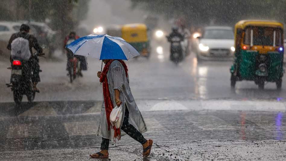
 Data captured by the Indian Space Research Organisation’s (ISRO) INSAT-3DR weather satellite indicates that roughly 60-70% of the country's landmass is currently under dense cloud cover.
A massive shield of monsoon clouds has draped nearly two-thirds of India, signaling a major revival of monsoon activity after a brief seasonal lull. Data captured by the Indian Space Research Organisation’s (ISRO) INSAT-3DR weather satellite indicates that roughly 60-70% of the country's landmass is currently under dense cloud cover.
The satellite imagery reveals the dense massing of clouds. The thickest structures sit over the northern plains, spanning Punjab, Uttar Pradesh, Bihar, and West Bengal, while stretching heavily into the Northeast.

 'At least one Indian bank should...': PM Modi's ambitious target for India Inc ft. Fortune 500
 Centre slashes ATF and petrol export duties, keeps domestic fuel taxes steady
 Loan framework: RBI proposes new MCLR formula based on 3-month moving average of funding costs
 FCNR(B) inflows could reach $85 bn including ECBs, OFCBs, says SBI Research
 Independence Day 2026: PM Modi unveils Sapt Dhara roadmap for Viksit Bharat. What it means, list of sectors it focuses on
 Auto Stocks In Focus: Maruti, M&M, Hyundai, Hero MotoCorp Or EVs—Where Is Value Now?
 Auto Ancillary Stocks: Analyst Picks Lumax Auto, Pricol, Sona BLW For Growth
 Pharma Stocks Rally After Earnings: Where Is The Value Across CDMO And Healthcare?
 Gold Safe In Bank Lockers? Horrifying Losses In Kanpur & Faridabad Expose Banking Security Holes
 Market Strategy: Sunny Agrawal On What Investors Should Watch Next
 Helios Capital bullish on NBFCs, bets on consumption-led growth and last-mile finance
 HDFC Bank, ICICI Bank, SBI, BoB, Kotak Bank, IDFC First: Targets for banking stocks by YES
 HDFC Bank, Axis, ICICI, Karur Vysya, Ujjivan SFB shares: What SBI Securities' Sunny Agrawal says
 Your portfolio may be full of ‘zombie stocks’: How to identify and exit them
 Shiprocket IPO Day 3: Issue subscribed nearly 100 times, fetches bids worth over Rs 91,000 crore
 India got independence in 1947. This state got it 14 years later after a military operation. Here's whyHelios Capital bullish on NBFCs, bets on consumption-led growth and last-mile finance
 NPS performance 2026: Tata Pension Fund leads equity scheme with 15.46% since inception; check details
 Earth is losing its natural cooling shield: How rising temperatures could reshape life on the planet
 iPhone 18 Pro launch could make older iPhones costlier, here’s what to expect












