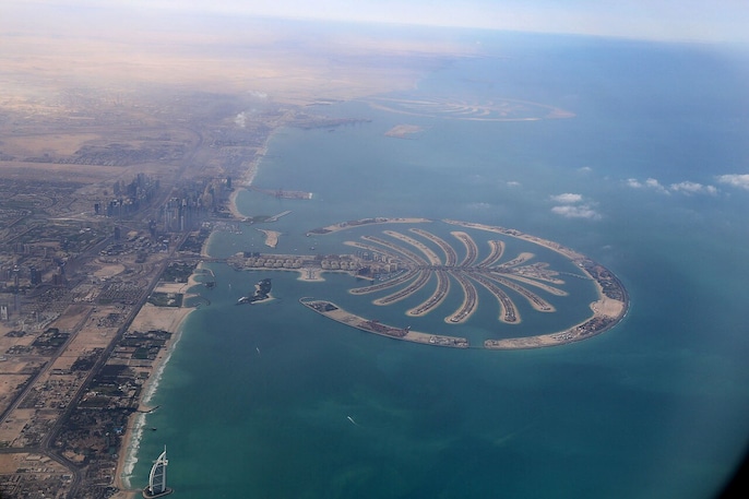
From Dubai’s shoreline, Palm Jumeirah resembles a luxury district. From orbit, its palm-shaped outline becomes unmistakable in astronaut photographs and satellite images, revealing the full scale of the reclaimed island.
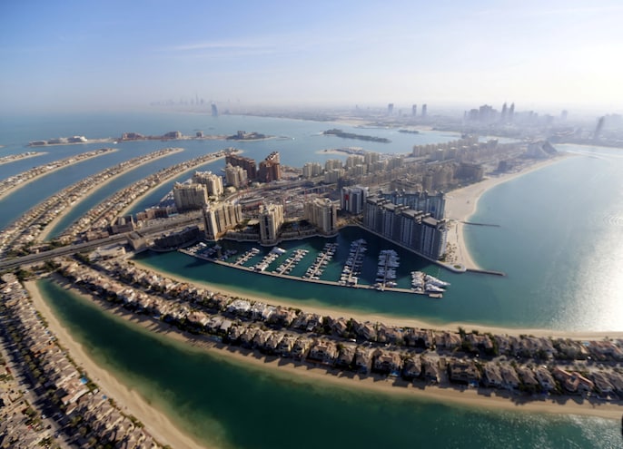
Construction began in 2001 after engineers designed an island shaped like a date palm. The project relied on dredged seabed material and rock, turning shallow Gulf waters into new land for homes, hotels and transport links.
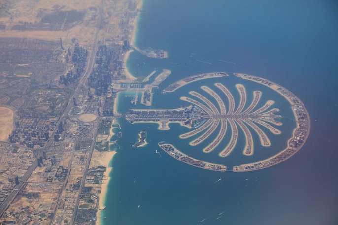
The island’s geometry is its signature: a two-kilometre trunk, 17 fronds and an 11-kilometre crescent. The outer crescent protects the development from waves, while the fronds create extensive waterfront space.
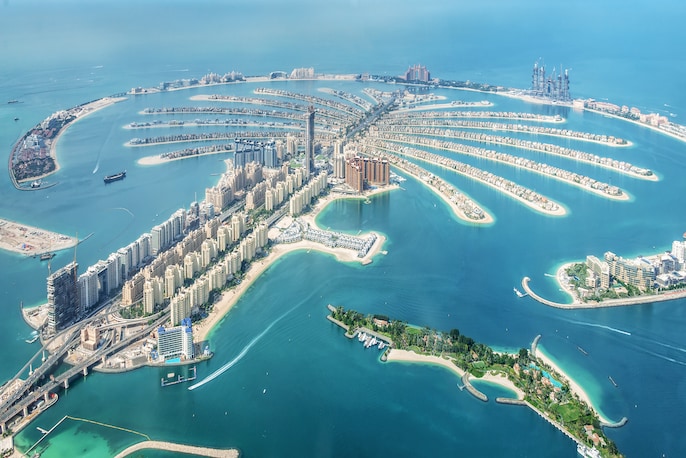
ESA says Palm Jumeirah was formed using around 80 million cubic metres of dredged material. The immense reclamation permanently altered Dubai’s coastline and made the island’s shape identifiable from hundreds of kilometres above Earth.
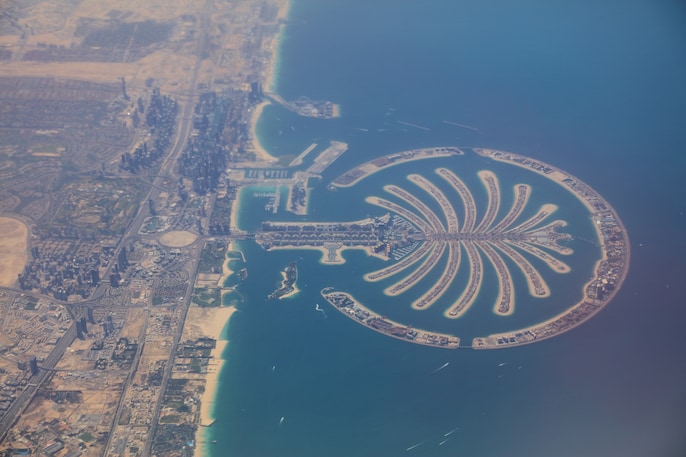
ESA’s Envisat documented Dubai’s artificial islands in 2005, Proba-1 photographed them in 2007, and Sentinel-2 produced a detailed 10-metre-resolution view in 2024, recording nearly two decades of coastal transformation.
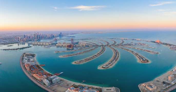
Palm Jumeirah is more than a collection of villas and resorts. It is a case study in land reclamation, coastal engineering and satellite monitoring—and proof that construction can reshape geography on an extraordinary scale.
 Confused Between Old And New Tax Regime? Here's What Taxpayers Should Know
 After Vikram-1's Orbital Launch, What's Next For Skyroot?
 Can Andy Burnham Redefine India-UK Relations? New UK PM's Big India Vision Explained
 Delhi Protests Surge: PM Modi Breaks Silence In NEET Paper Leak As Opposition Rallies!
 Trump's 100% Pharma Tariff Plan: How Will Indian Drugmakers Respond To The U.S. Move?