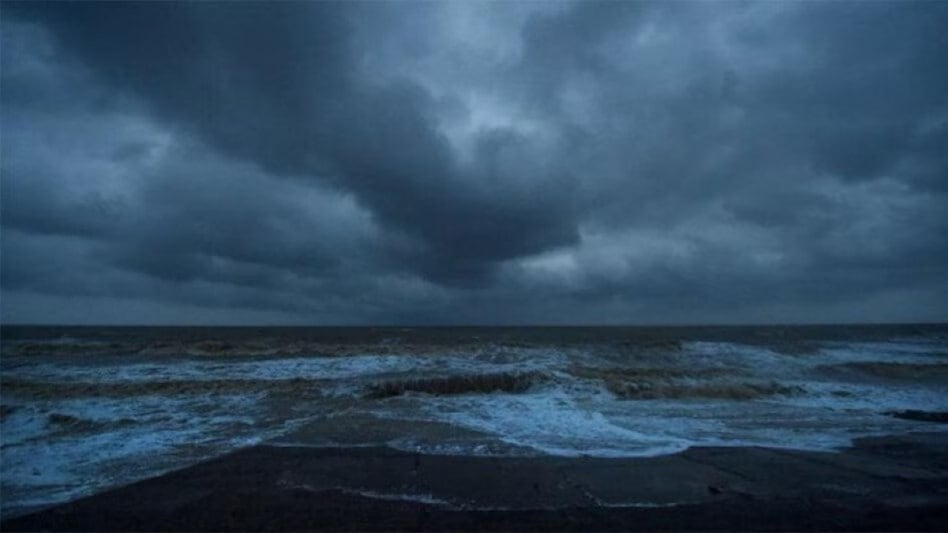
 Coastal areas of Lakshadweep, Karnataka, Goa, and Maharashtra are likely to face impact
 Coastal areas of Lakshadweep, Karnataka, Goa, and Maharashtra are likely to face impact
On Wednesday, India Meteorological Department (IMD) said Cyclone 'Biparjoy' intensified into a very severe storm as it moved nearly northwards at 2 kmph speed in the last 6 hours. IMD states that the cyclone will likely move nearly northwards in the next 24 hours while retaining its intensity. It would then move north-northwestwards in the next 3 days.
“Cyclonic storm Biparjoy over east-central and adjoining southeast Arabian Sea moved nearly northwards with a speed of 2 kmph during the last six hours, intensified into a severe cyclonic storm and lay centered over the same region at 0530 hours, about 890 km west-southwest of Goa, 1,000 km southwest of Mumbai, 1,070 km south-southwest of Porbandar and 1,370 km south of Karachi,” tweeted IMD.
The IMD has issued a warning of consequent harsh weather and sea conditions in the southwestern states, with wind speeds expected to reach 135-145 kmph and gusting up to 160 kmph over the next three to four days. The IMD has also advised fishermen to avoid venturing into the sea.
Check the date, time and intensity below:


Check the areas to be affected most:
Coastal areas of Lakshadweep, Karnataka, Goa, and Maharashtra are likely to face impact as IMD has issued a wind warning for the next five days in these regions because the impact of Cyclone Biparjoy is anticipated to be felt in several southwestern states.
On June 7, gale winds with the speed of 80-90 kmph, gusting up to 100 kmph, will likely prevail over the east-central Arabian Sea and adjoining areas of the west-central and southeast Arabian Sea.
By evening, these winds may intensify to 95-105 kmph, gusting up to 115 kmph in the same area. Adjoining areas of the west-central and south Arabian Sea and the coasts of north Kerala, Karnataka, and Goa are, therefore, likely to be most impacted by the storm.
On June 8, the wind speeds are expected to increase further, reaching 115-125 kmph, gusting up to 140 kmph from the evening. Areas along the Karnataka, Goa, and Maharashtra coasts will experience strong winds.
By June 9, wind speeds may escalate to 135-145 kmph, gusting up to 160 kmph from the evening, affecting the adjoining areas of the South Arabian Sea, Karnataka, and the Goa-Maharashtra coasts.
On June 10, gale winds with speeds of 145-155 kmph, gusting up to 170 kmph, are predicted over the central Arabian Sea. The adjoining areas of the south Arabian Sea, as well as the coasts of north Karnataka, Goa, and Maharashtra, will also be impacted.
IMD issued a warning for fishermen:
The IMD has warned fishermen to avoid venturing into the sea until June 10. Fishermen currently at sea are advised to return to the coast.
IMD’s official website states that it is advised that fishermen should avoid venturing into the central and adjoining areas of the south Arabian Sea from June 7 to 9 and the central and adjoining areas of the north and south Arabian Sea on June 10.
Fishermen along and off the Kerala-Karnataka coasts, as well as the Lakshadweep-Maldives areas, should remain cautious on June 6 and 7. While the ones along and off the Konkan-Goa-Maharashtra coasts should remain cautious from June 8 to June 10, the IMD stated.