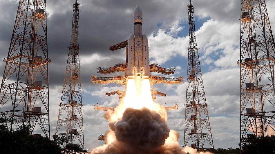
 According to former ISRO Chairman V. Narayanan, at least 10 satellites are keeping an eye on the borders round the clock. (Representational photo)
 According to former ISRO Chairman V. Narayanan, at least 10 satellites are keeping an eye on the borders round the clock. (Representational photo)
India’s ability to keep tabs on its frontiers with Pakistan and China will get a major boost later this month. The Indian Space Research Organisation (ISRO) is scheduled to launch the PSLV-C61 mission on May 18. Riding on the Indian space agency’s workhorse will be the EOS-09 satellite – India’s latest in surveillance technology.
The earth observation satellite will lift off from an ISRO launch pad at the Satish Dhawan Space Centre in Sriharikota at 6:59 am on May 11. Coming at a time when India is in a tense standoff with Pakistan, the satellite will be a force multiplier for the armed forces.
What Is RISAT-1B?
The 1,710-kg satellite is equipped with an advanced C-Band Synthetic Aperture Radar which give it enhanced all-weather capabilities in rain, darkness or under cloud cover. This gives Indian agencies a huge leg-up in keeping an eye on the restive borders.
The EOS 09 or Earth Observation Satellite 09 also called the RISAT-1B, is the seventh in the series. The first, RISAT-2, was launched in 2009.
Not many details are available about the satellite, but it is reported to have the ability to take high-resolution images of up to a metre. It can also take broader scans for larger-area observations.
The satellite will also provide images under all-weather conditions for applications such as agriculture, forestry, soil moisture, hydrology, and flood mapping.
A Queue Of ‘Spy’ Satellites
The RISAT-1B is part of the $3-billion Space-Based Surveillance-3 (SBS-3) mission approved by the Cabinet Committee on Security (CCS) in October 2024. SBS-3 plans for 52 surveillance satellites to monitor India's borders.
According to a report, Operation Sindoor has pushed the government to slash the timeline for the project to 12-18 months from the earlier period of 4 years.
Meanwhile, according to former ISRO Chairman V. Narayanan, at least 10 satellites are keeping an eye on the borders round the clock.
Speaking at an event on May 11, Narayanan said, “At least 10 satellites are continuously working round-the-clock for the strategic purpose to ensure the safety and security of the citizens of the country.” He added, “You all know about our neighbours. If we have to ensure the safety of our country, we have to serve through our satellites. We have to monitor our 7,000 km seashore areas. We have to monitor the entire Northern part continuously. Without satellite and drone technology, we can’t achieve that.”