


 Tibet was an autonomous region till 1950. But in 1951, the People's Liberation Army (PLA) entered Tibet following the 17 Point Agreement, a 'forced' treaty that allowed Beijing to incorporate Tibet into China.
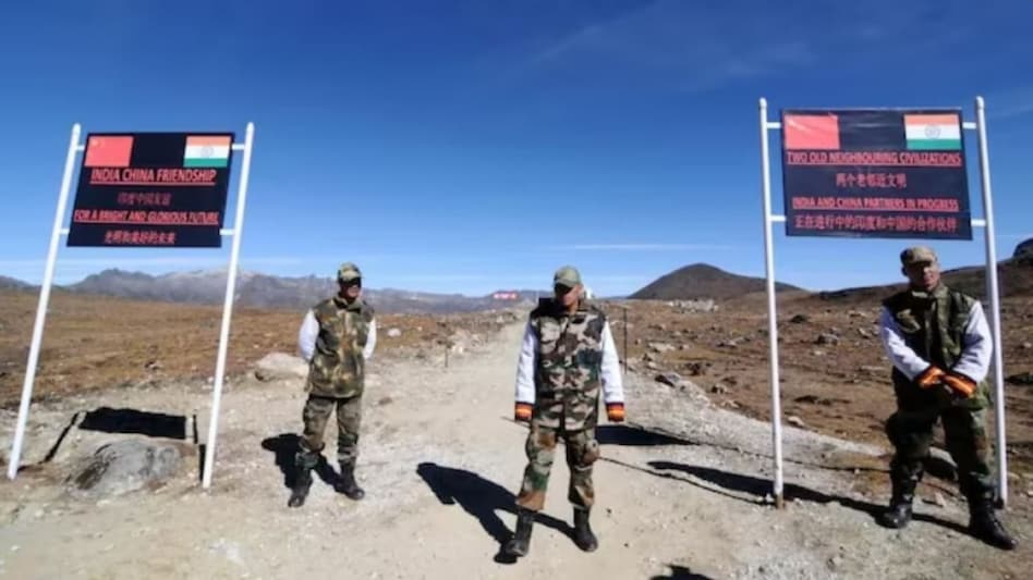
 In yet another provocation ahead of the crucial G20 Summit in New Delhi, China has, in a new map, shown Arunachal Pradesh and Aksai Chin as part of its territory. While Beijing has been laying claims on these two territories for years, its new map has this time triggered a volley of reactions in India with, some now asking New Delhi to declare Tibet as an independent region.
Tibet was an autonomous region till 1950. But in 1951, the People's Liberation Army (PLA) entered Tibet following the 17 Point Agreement, a 'forced' treaty that allowed Beijing to incorporate Tibet into China. India recognised Tibet as part of China in 2003 as an attempt to calm things down on the border. But that move has not yielded any results and Beijing continues to lay its claim on Arunachal Pradesh as it considers it a part of Southern Tibet. China has also been laying claim on India's Aksai Chin region, which it has been holding since 1962.
 RBI's forex swap scheme pulls in record $143.6 billion till Sep 18
  Bank strike next week: Five-day disruption may hit your salary credits
 NSE IPO subscribed 5.7 times as QIBs lead demand; shares to list on BSE on September 24
 Indian Oil, HPCL, BPCL shares rise as brent crude prices fall for fourth day
  Tata Sons power struggle: Who will pay for the next legal battle?
 Burqa Ban In Italy? Meloni Pushes New Rules On Face Coverings
 Tata Trusts-Tata Sons Row: Harish Salve Explains RBI Rules, Singhvi Flags Shareholder Rights
 Top Legal Eagles Flock To Tata Sons & Tata Trusts As Boardroom Clash Heads To Court
 Over Next Three Years Company Expects To Invest ₹15,000 Cr For Deepwater Exploration
 Tata Sons Listing Row: Shapoor Mistry Backs IPO As Noel Tata Pushes ₹25,000-Crore Plan
 NSE IPO subscribed 5.7 times as QIBs lead demand; shares to list on BSE on September 24
 Brokerage sees 96% upside potential in this smallcap stock
 Dr. Reddy’s, Lupin shares among buzzing stocks as pharma sector back in focus
  3 Warren Buffett quotes for Indian stock market investors today
 Sensex jumps 564 points, Nifty tops 23,400; will this upmove sustain?
 Who is Abhishek Manu Singhvi? The veteran lawyer at the centre of Tata Trusts' fight for control
 A look at Harish Salve's career as he advises Tata Sons Chairman
  JLR in talks with 8-9 banks to raise £1 billion amid Tata leadership uncertainty
 Why India’s young affluent buyers are shifting from apartments to land, luxury and lifestyle assets
 'Faculty must be able to uphold exam integrity without fear': IIT Madras association on IIT Bombay case












