


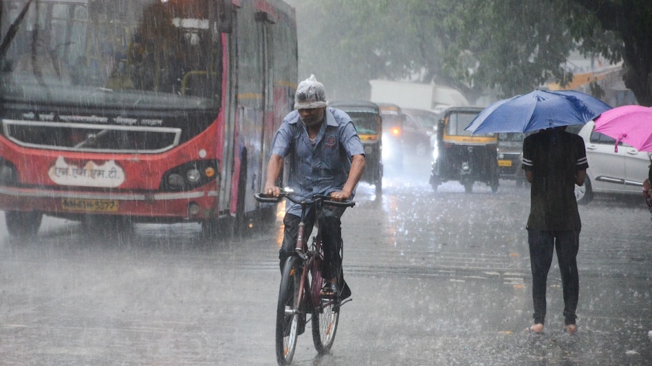
 India received 11% less rainfall in June, says IMD (PC: PTI)
Monsoon update: The India Meteorological Department (IMD) said that June received below-normal rainfall, as most of the country grappled under heatwave conditions. While most of the country is receiving rainfall now, the momentum had slowed down in the middle of the month.
IMD data showed that India received 11 per cent less rainfall than normal in June across all regions, except the southern region. The central, north-western and north-eastern regions received 14 per cent, 33 per cent, and 13 per cent below average rainfall, respectively, last month, IMD data showed. The southern region, on the other hand, received 14 per cent above average rainfall.

 HDFC Bank leadership shake-up: CEO Sashidhar Jagdishan to retire on Oct 26, will not seek reappointment
 GST Council set to meet on September 12; ITC norms, state revenues likely on agenda
 Multiple options exist post the deferment of Tata Sons' AGM, say legal experts
 Essel Group debt: Now, LIC Housing Finance, Union Bank to challenge NCLT's repayment plan
 Why Adani and Tata Power are turning to foreign nuclear reactors over local models
 ITR Filing Deadline August 31: Key Rules For Freelancers, Content Creators & F&O Traders
 “Bengaluru Needs Metro, Not A ₹40,000-Crore Tunnel Road,” Says Tejasvi Surya
 Why Astra Microwave Could Benefit From Rising Defence Orders | Defence Sector In Focus
 Alienware 16 Area-51 Review: RTX 5080 Beast Or ₹3 Lakh Overkill?
 Hitachi Stock Doubles In 6 Months: Why It Became The Top Portfolio Performer Of 2026
 Jio Platforms IPO gets SEBI nod: Rs 27,500 crore debt repayment plan, $100 billion valuation in focus
 Closing Auction Session: Why the system expected to reduce volatility is still seeing occasional wild swings
 RIL-backed penny stock hits 52-week low; firm clarifies on high trading volume
 Happiest Minds shares slip despite IT stocks surge; here's what is weighing on the stock
 BEL, Solar Industries shares remain Nuvama's top defence picks; here's what it said on BDL, Data Patterns, HALITR Filing Deadline August 31: Key Rules For Freelancers, Content Creators & F&O Traders
 'Do you feel you are a lord...': Bombay HC warns Tukaram Mundhe's FDA with contempt charges
 From Apple to the Boardroom: Tim Cook’s leadership roles beyond Apple
 The AI jobs shock: Why reskilling could become unavoidable by 2030, says reportHDFC Bank leadership shake-up: CEO Sashidhar Jagdishan to retire on Oct 26, will not seek reappointment












