


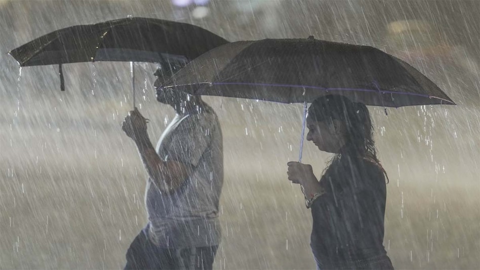
 The development comes at a crucial time, with India witnessing an uneven monsoon season.
After a brief break in rainfall left many parts of the country hotter and drier than usual, the southwest monsoon is expected to regain momentum. A weather circulation that has travelled from the Pacific Ocean to the Bay of Bengal is likely to trigger a fresh spell of rain, first over eastern India and later across central and northern parts of the country, according to a report by India Today.
Bay of Bengal system gathers strength

 'Russia stood by us when...': EAM Jaishankar explains why India's ties with Moscow endure
 India now stands at a pivotal moment in its developmental journey, says Shaktikanta Das
 China is both a model and a warning for India's chip ambitions: US professor on what New Delhi should do
 FPI outflows have nothing to do with their belief in India growth story: Neelkanth Mishra
 DLF sells out Gurugram luxury retirement project The Aureva for ₹1,985 crore
 Gold Vs Silver: Which Should Investors Buy? Ajay Kedia Shares His 70:30 split Strategy
 Can You Sell Bonds Before Maturity? Liquidity, Exit & Penalties Explained
 Bonds Vs FDs: Are Bonds A Better Alternative For Higher Returns? Risks Explained
 Should You Buy Gold Now? Festive and Wedding Season Strategy Explained
 Direct Vs Regular Mutual Funds: Why the Right Advisor May Matter More Than 1% Cost
 Nvidia shares approach record high as AI optimism revives investor demand
 Sebi receives 20,000 comments on proposed CAS changes; framework to follow soon
 Stock market sell-off: Nifty, Sensex log 8th straight weekly loss; key levels & top triggers now
 IPO boom: 69 Indian companies raise Rs 90,500 crore in Q3 despite stock market sell-off; what's next
 TCS, Infosys, HCL Tech, TechM, Wipro, LTM, Coforge, HEXT: Fresh target, Q2 previews for IT stocks
 'Kerala has a serious debt problem': Former Cabinet Secretary on state's finances
 Fed rate hike impact: IMF tells India to let exchange rate act as shock absorber
 No timeline for Sheikh Hasina's return to Bangladesh: Indian envoy in Dhaka'Russia stood by us when...': EAM Jaishankar explains why India's ties with Moscow endure
 Man watches Drishyam 3 in Surat, travels 2,000 km to Bihar and kills father












