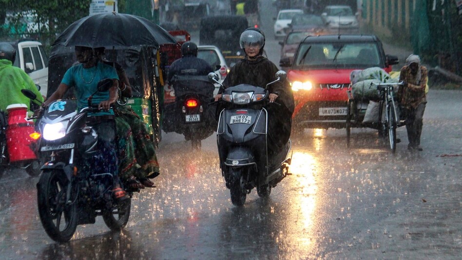
 Monsoon movement: IMD says Southwest Monsoon advancing
 Monsoon movement: IMD says Southwest Monsoon advancing
 The monsoon has progressed in certain states, as it sets in Odisha, with light and heavy rains in Delhi and Himachal Pradesh. According to the Indian Meteorological Department (IMD), the Southwest Monsoon has further advanced – as of today, June 23 – into some parts of Karnataka, Telangana, remaining parts of Andhra Pradesh, some parts of Vidarbha, Chhattisgarh, and parts of Northwest Bay of Bengal. The Southwest Monsoon has also advanced into remaining parts of Odisha and the Gangetic West Bengal, some parts of Jharkhand and Bihar and some parts of East Uttar Pradesh.
The IMD had earlier predicted light rain in Delhi on Friday, as most of the day remained overcast. Even so, temperatures in Delhi remained high with maximum touching 39 degree Celsius. Humidity was recorded at 73 per cent early morning, while the air quality index was in the moderate category – 102.
Separately, monsoon has set in over certain parts in Odisha, and heavy rains are expected in the next four-five days. Southwest Monsoon reached parts of Malkangiri, Koraput and Gajapati districts and is likely to advance further in the next two days. Fairly widespread to widespread rain and thundershower is expected in the next 4-5 days, IMD said.
Jagatsinghpur, Kendrapada, Puri, Ganjam and Kandhamal are expected to witness heavy to heavy rainfall on Friday, while Sundargarh, Jharsuguda, Bargarh, Sambalpur, Deogarh, Angul, Dhenkanal, Keonjhar and Mayurbhanj are expected to experience thunderstorm and lightning. Bhubaneswar has already experienced pre-monsoon showers during the day.
Himachal Pradesh also witnessed escalated pre-monsoon activity on Thursday, and hence heavy rainfall, thunderstorm and lightning are likely over parts of the state on Saturday. The local meteorological station issued an orange warning at isolated placed on June 25 and 26.
While lower areas of Himachal are expected to see rainfall, higher reaches are expected to receive snowfall.
The Met department cautioned that rain and thunderstorms could cause poor visibility, traffic snarls, power disruption and crop damage. The state cooled down after Thursday’s bout of rain that brought down temperatures to below 35 degree Celsius.
Meanwhile, the flood situation has worsened in Assam with about 5 lakh people braving the impact of the deluge. The Met department has forecast heavy rains in the next few days, even as major rivers of the state, including the Brahmaputra, are flowing over the danger level. The Brahmaputra is flowing above the danger level at Nematighat (Jorhat) and Dhubri.
Among other rivers flowing over the red mark are Puthimari (Kamrup), Paglagiya (Nalbari) and Manas (Barpeta).
A yellow alert has been issued for Friday by the Regional Meteorological Department, and people have been asked to be on alert. So far, 16 districts have been affected by floods. Many districts including Sonitpur, Bongaigaon, Darrang, Dhubri, Lakhimpur, Morigaon, Nalbari, South Salmara and Udalguri have experienced massive erosion.
Also read: Rainfall to continue in Delhi-NCR; IMD says monsoon onset in Mumbai likely over weekend
Also read: Monsoon advancing: IMD predicts heavy rainfall in THESE states, Delhi to get light showers